


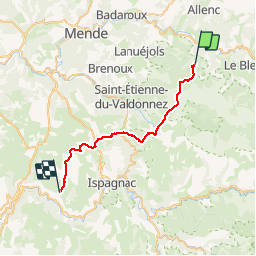


10,3 km | 14,5 km-effort

Utilisateur


Application GPS de randonnée GRATUITE
 SityTrail
IGN / Instituts géographiques
SityTrail World
Le monde est à vous
Randonnée Cheval de 30 km à découvrir à Occitanie, Lozère, Mont Lozère et Goulet. Cette randonnée est proposée par alfreson.
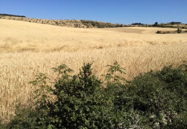
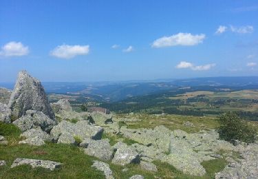
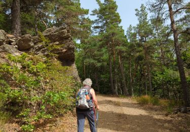
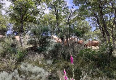
On commence par revenir sur nos pas par la fin de la boucle précédente, puis on continue par les pinèdes, les campagnes et la caisse de Sauveterre. Boucle facile à l'exception d'un passage très technique dans les rochers!!!


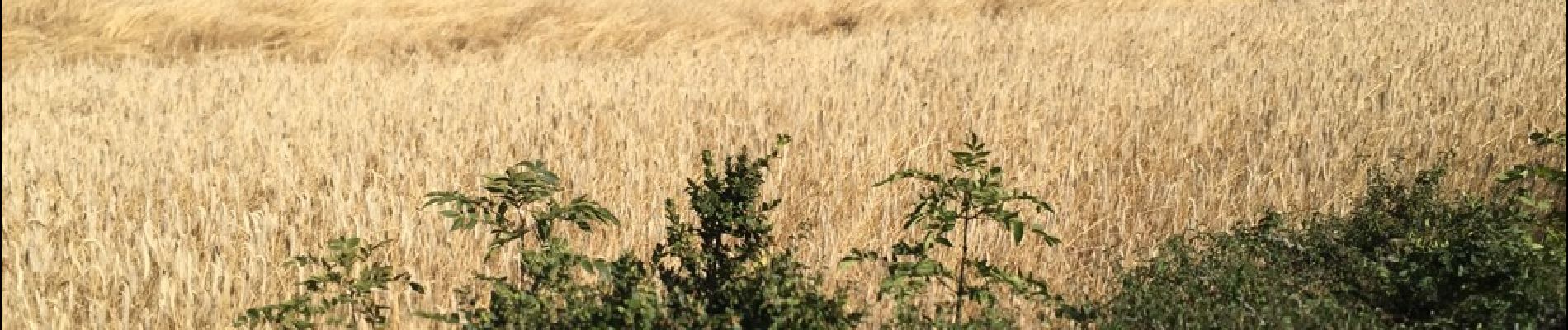
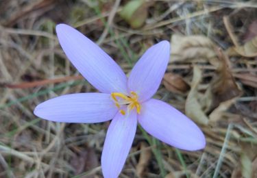
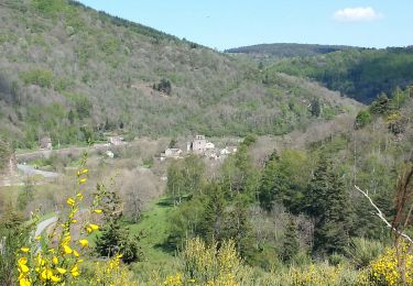
33 photos au total. Cliquez sur une photo pour les afficher toutes dans la galerie.

Autre activité
Marche

Marche
Marche
Cheval
Marche
Marche
Marche